In 2021, Calvin University introduced an online master’s degree in Geographic Information Systems. Just a few years later, the university’s program is considered among the best in the country. UniversityHQ, a leading independent education organization, ranks Calvin’s program 17th nationwide.
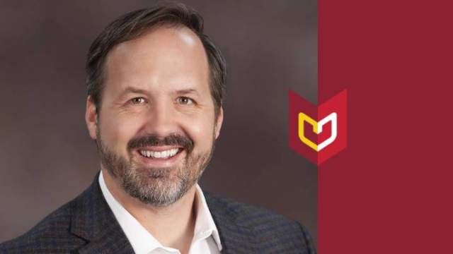
“Salary, retention, graduation rates, all of those things matter in getting a ranking,” said Jason VanHorn, professor of GIS and director of the GIS master's program. “So, to see us sitting in the Top 25 ranking lets me know a couple of things. First, our grads are succeeding, and secondly it indicates we have a strong set of offerings given we are ranked alongside the top GIS masters programs around the country.”
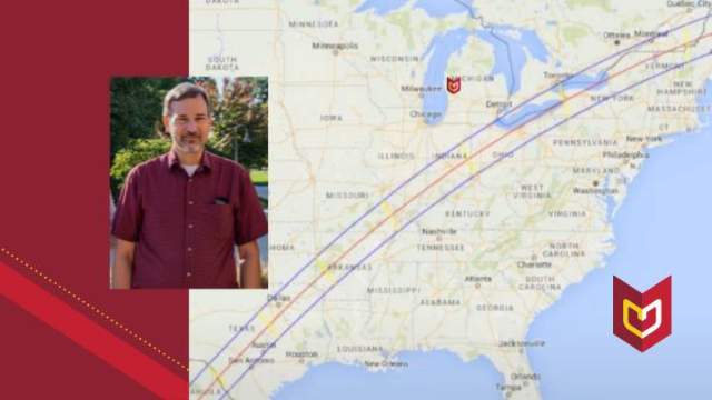
Surveying and mapping
While the ranking provides validation, VanHorn doesn’t necessarily see it as surprising considering the intentionality that was taken in designing the relatively new offering. Along with his colleagues, VanHorn, the chief architect of the program, scanned the country’s top GIS programs and determined what core courses and electives would create a really strong offering. They then surveyed the GIS&T Body of Knowledge, which VanHorn says is “the guiding document that lays out the things one should know if they want to be an expert in GIS.”
“That was a key component in creating this master’s program,” said VanHorn. “I wanted to capture as many of the GIS&T Body of Knowledge concepts and sections as possible through all our courses. So, when a student graduates they are really equipped for any direction they want to go.”
Gaining proficiency through experience
The program is seven courses long and intentionally project based. In fact, VanHorn says there’s at least one hands-on project in every single course.
“Lab work is part and parcel in the world of GIS, so, yes a student will learn theory, but the projects are where we focus heavily.”
In fact, in one of the courses, students spend six weeks working with a business on a GIS project, finding out their goals and then executing the project for the business. The team then presents their work to the business at the conclusion of the project.
“Putting in numerous hours, about 40-60 on that project alone, gives the students experience that employers are looking for in graduates,” said VanHorn. “So, when our students get into the real world and do GIS, they are not only successful to propose projects but also to execute them and do them really well.”
Adding value
Knowing the growing importance of GIS across many industries, from archaeology to civil engineering, from biology to data science, VanHorn intentionally designed a certificate program. The three courses aim to equip students from any discipline to succeed in GIS. If a student decides to go on to pursue a master’s at Calvin, they only have four courses left to complete that degree. Note: In Fall 2023, a new effort to aid cities with GIS was launched at Calvin with the GIS Certificate for Local Government.
Besides being a nationally ranked GIS program, VanHorn says the university’s approach to this work is an additional value-add for students.
“There’s a large conversation in GIS about ethics in GIS, but I believe we can move that further from ethics to virtue. Our program takes a virtue-driven approach to what we do in GIS, how we think, how we interact with people. So, as we think about virtues like hope, love, joy, peace, patience, kindness, we consider how each of these virtues fits into our learning and into our exercise of GIS on a daily basis,” said VanHorn. “There are so many problems and challenges that this world is facing right now and because so many of these challenges are geographic in nature, GIS is one of the tools that can be utilized in finding solutions. So, the virtue-driven approach is a unique approach to offer our students as we think about moving the needle on impacting this world with GIS.”